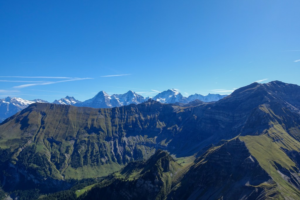
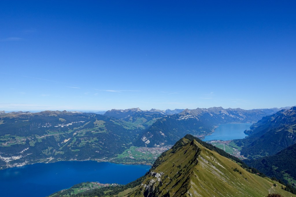
Round trip high above the lakes of Thun and Brienz with stunning panoramic views on Eiger, Mönch and Jungfrau.
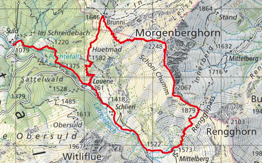
- Starting point: Bus station Aeschiried, Suld-Pochtenfall
- End point: Bus station Aeschiried, Suld-Pochtenfall
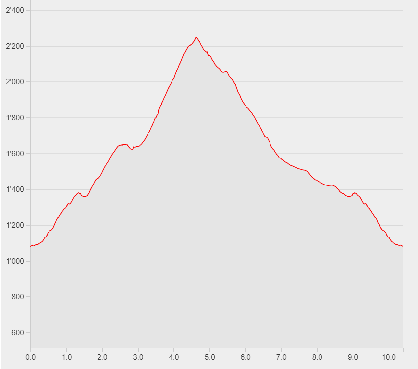
- Length: 10.4km
- Duration: 6h
- Ascending altitude: 1286m
- Descending altitude: 1286m
Next to the bus station on the other side of the river you will find a lot of yellow hiking signs. Follow the one pointing towards Morgenberghorn. Soon after the starting point you reach the impressive Pochtenfall. Continue your way up through the forest until you arrive at the way point marker of “Louene”. Chose the steep zigzag path, still following the signs to Morgenberghorn until your next way point marker, “Brunnihütte”. Behind the Brunnihütte another zigzag path takes you to the foot of a cliff. Up there, you will find a well-marked corridor, bearing a cord, which you need to hold on to in order to pass this difficult section. After some more zigzags, you will reach the Morgenberghorn with its stunning panoramic view. For the way down, continue to walk on the crest until you reach the Rengglipass. Keep an eye on the signs to Aeschi. This way takes you back to the initial bus station via “Louene” and the Pochtenfall.