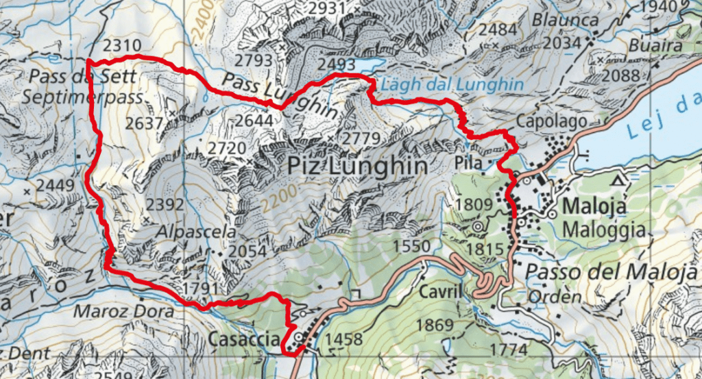
One-way hike to the Lughin mountain pass, from where the water flows in three different directions to the Black, North and Mediterranean Seas.
- Starting point: Maloja
- End point: Casaccia
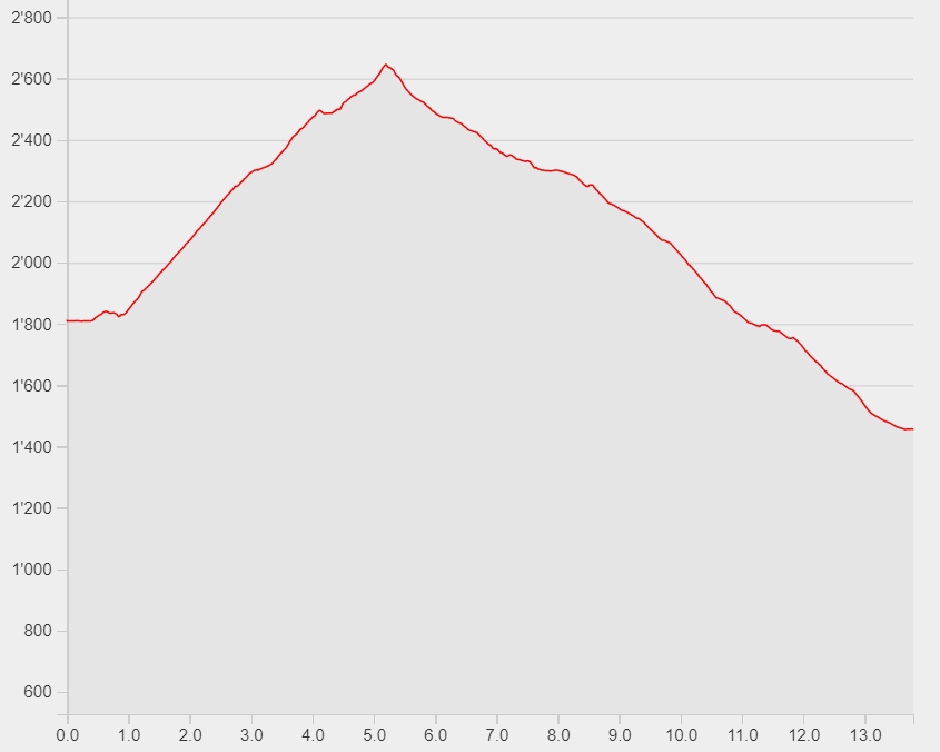
- Length: 13.8km
- Duration: 5h20
- Ascending altitude: 911m
- Descending altitude: 1262m
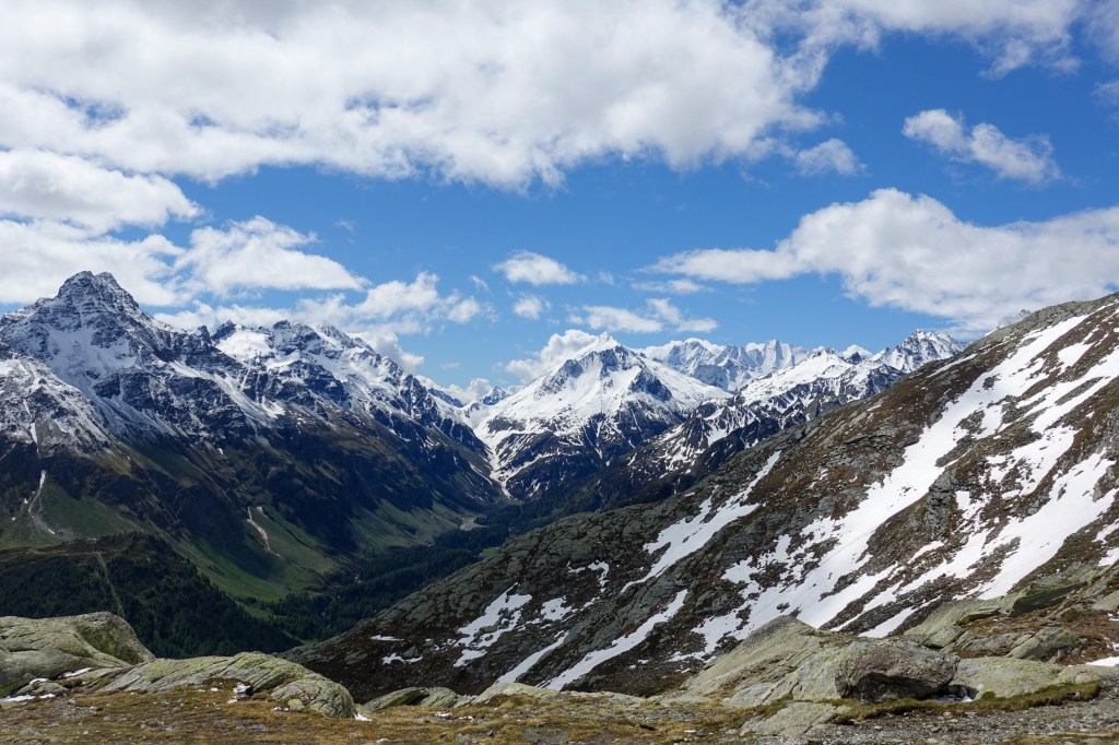
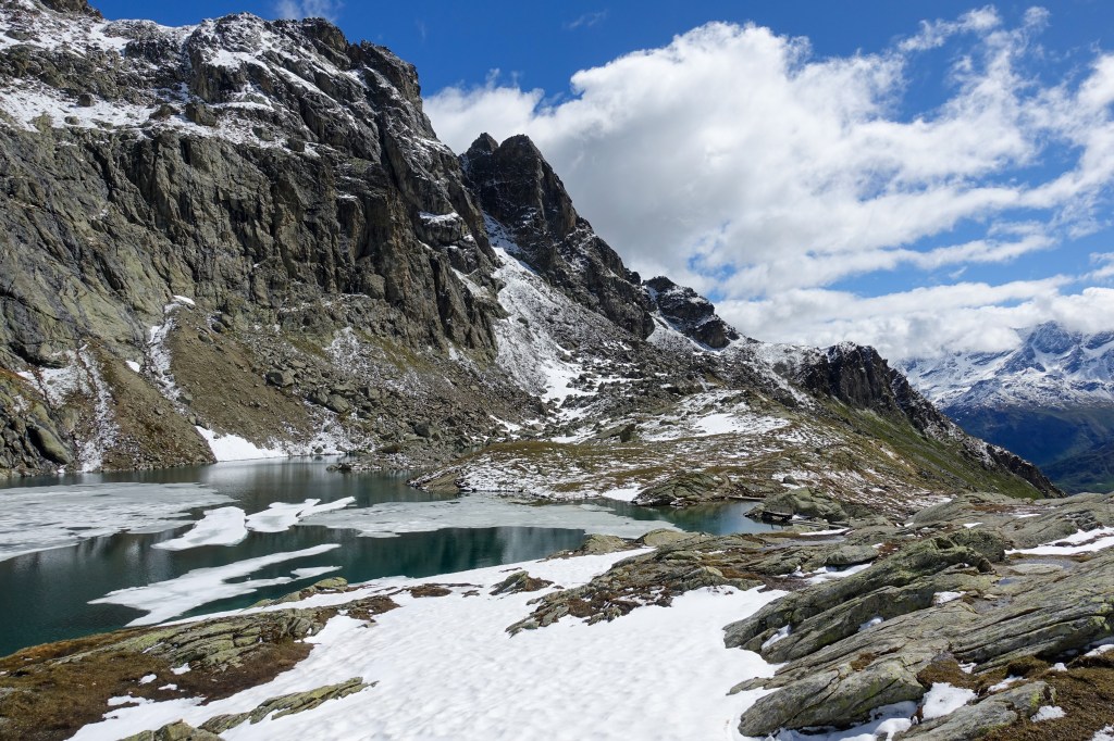
Start your hike from Maloja and ascend through the scree field to the Lughin mountain lake. Go further up to the Lughin mountain pass where you can discover the watershed. From there, descend now to the pass Da Sett and further to Casaccia. Here, you can take the bus back to Maloja.