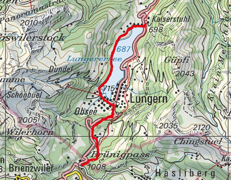
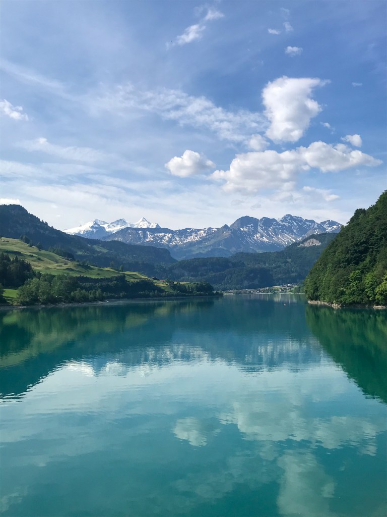
One-way hike along the deep blue Lungerner Lake up to the Brünigpass.
- Starting point: Kaiserstuhl
- End point: Brünigpass-Hasliberg
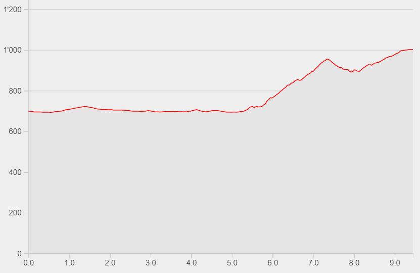
- Length: 9.5km
- Duration: 2h50
- Ascending altitude: 463m
- Descending altitude: 159m
The starting point of this hike is the train station in Kaiserstuhl. Walk to the lake and enjoy the view of the mountain peaks and the green meadows. Follow the path along the lake via Enetmatt towards Diesselbach. Walk through the houses of Obsee and pass behind the industrial zone into the forest. Now your ascent starts on the old mule track. It will take you through the forest until you reach the train station Brünigpass-Hasliberg. From here you can take the train either back to Kaiserstuhl or in the direction to Interlaken.
Hint: Are you interested in history? Scan the QR codes along the way and get more information about the history of this mule track.